Looking Down to Understand More: Four Remote Sensing Companies Changing How We See the World
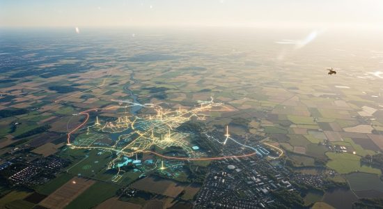
There’s something pretty amazing about being able to look down at Earth from way up high and actually understand what’s going on. Not just look at it, not just admire the colors of satellite images, but really see it—changes in land, health of crops, where cities are growing too fast, where forests are disappearing.
That’s where remote sensing comes in. It’s not just satellites and drones snapping pictures. It’s about understanding those pictures in ways that can actually help people. And that’s where these consulting companies play a big role—they take all that complicated imagery and data and turn it into stuff that regular folks, farmers, city planners, aid workers, even investors, can use to make better decisions.
Key Players in Remote Sensing Applications
Digital Sense: AI-Powered Environmental Insights
Take Digital Sense, for example. You can find them at digitalsense.ai, and they’re all about mixing artificial intelligence with remote sensing. But that sounds colder than it really is. What they’re really doing is helping people solve real problems—like figuring out how a drought will affect crops or spotting the early signs of a flood before it gets out of control.
GLOBHE (Sweden): Global Drone Network for Rapid Response
Then there’s GLOBHE, a Swedish company doing something pretty unique. Instead of sending drones from their office, they work with local drone pilots all over the world. That means if a flood hits in Indonesia or a wildfire breaks out in Chile, they can get someone on the ground—well, in the air—with a drone right away. That imagery can be used to send help where it’s needed most.
What’s cool is that they don’t just take pictures and call it a day. They analyze them and give reports that people can actually use. Humanitarian groups, environmental orgs, even companies trying to keep an eye on supply chains—they’ve all worked with GLOBHE. It’s fast, it’s flexible, and it’s grounded in real-world needs, not just flashy tech.
EOS Data Analytics (US): Satellite Monitoring for Agriculture
Now shift over to EOS Data Analytics, a US-based company that’s got a big focus on farming, but they don’t stop there. They’ve built tools that let you monitor crops from space. So, say you’ve got a field somewhere in Argentina or Nigeria or Kansas—EOS can give you regular updates on how it’s doing.
- Are the plants stressed?
- Are pests becoming a problem?
- Are you watering too much in one area and not enough in another?
That kind of information used to take days or even weeks to figure out, if it was even possible. Now it’s available almost in real time. Their goal seems to be making this kind of tech available not just to huge companies but also to small farmers who need every edge they can get. It’s like putting satellite data into the hands of people who are actually out working the land.
SpaceKnow: Economic Insights from Orbital Viewpoints
And then there’s SpaceKnow, which kind of comes at remote sensing from a different angle. While the others are more focused on environmental or agricultural applications, SpaceKnow is watching the economy. Yep—economy. They track things like how many shipping containers are stacked at ports, or how many cars are parked at big retail stores, or even whether factory rooftops are reflecting light differently (which can mean activity has changed inside).
That might sound strange at first, but it’s actually brilliant. These things can be indicators of how the economy is doing—sometimes before any reports are released. That gives investors and governments a head start. It’s kind of like reading between the lines of Earth’s daily routine. And while some might find that a little creepy, SpaceKnow seems to be focused more on transparency and trends than on spying.
If you’re interested in delving deeper into the innovative work of remote sensing companies and their impact on various industries, you can find further information in this insightful resource.